Introduction to SLAM and Mapping: The Technology Behind Autonomous Navigation
Article
Introduction to SLAM: Why It Matters
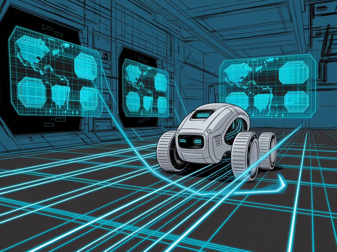
Imagine a drone darting through a collapsing mine shaft to rescue trapped miners, or a Mars rover plotting its path across uncharted terrain. These machines share a superpower: SLAM (Simultaneous Localization and Mapping). SLAM is the algorithmic backbone enabling robots to explore, map, and navigate environments without GPS or prior knowledge.
What Is SLAM?
SLAM solves a chicken-and-egg problem: A robot must map its surroundings to localize itself, but it needs to know its location to build the map. SLAM tackles both tasks simultaneously using sensors like cameras, LiDAR, and inertial measurement units (IMUs).
A Brief History
The concept of SLAM emerged in the 1980s with early robotics pioneers like Hugh Durrant-Whyte and John Leonard. Back then, algorithms were computationally heavy and limited to labs. Fast-forward to 2024: SLAM powers everything from $100 robot vacuums to SpaceX’s autonomous recovery drones. Key milestones include:
1986: The term "SLAM" is coined in a seminal robotics paper.
2000s: Particle filters and probabilistic methods (e.g., FastSLAM) make real-time SLAM feasible.
2010s: Visual SLAM (V-SLAM) explodes with smartphones and AR/VR.
2020s: AI-powered SLAM systems like Neural SLAM push the boundaries.
Why SLAM Matters Today
From warehouse logistics to disaster response, SLAM is critical for autonomy. It’s the reason your Roomba doesn’t get stuck under the sofa and why Meta Quest headsets let you dodge virtual obstacles in your living room.
Key Components of SLAM
SLAM systems rely on three pillars: localization, mapping, and sensor fusion.
Localization: "Where Am I?"
Localization estimates a robot’s position using sensor data. Common approaches:
Odometry: Track wheel rotations (for ground robots) or propeller RPM (drones).
Inertial Measurement Units (IMUs): Measure acceleration and angular velocity.
GPS (When Available): Useful outdoors but fails indoors or in dense cities.
Challenges: Sensor noise (e.g., IMU drift) and dynamic environments (e.g., moving pedestrians) can derail localization.
Mapping: "What’s Around Me?"
Maps come in three flavors:
Metric Maps: Precise geometric layouts (LiDAR point clouds).
Topological Maps: Node-based "connectivity" graphs (think subway maps).
Semantic Maps: Object-aware (e.g., labeling chairs, doors).
Example: Tesla’s cars build semantic maps to distinguish stop signs from pedestrians.
Sensor Fusion: The Power of Teamwork
No sensor is perfect. Combining data from cameras, LiDAR, and IMUs creates redundancy:
Cameras: Cheap and rich in detail but struggle in low light.
LiDAR: High accuracy but expensive and power-hungry.
Radar: Works in fog/rain but low resolution.
Pro Tip: Smartphones use V-SLAM (cameras + IMUs) for AR apps—no LiDAR required!
How SLAM Works: A Step-by-Step Breakdown
Frontend vs. Backend
Frontend (Perception):
Feature Extraction: Identify landmarks (e.g., edges, corners) using tools like ORB or SIFT.
Data Association: Match features across frames (e.g., recognizing a door seen earlier).
Backend (Optimization):
GraphSLAM: Models poses and landmarks as nodes in a graph, then minimizes errors.
Bundle Adjustment: Refines camera poses and 3D points (used in photogrammetry).
Algorithms Demystified
Filter-Based Methods:
Kalman Filters: Linear systems with Gaussian noise (simple but limited).
Particle Filters: Use "particles" to represent possible states (great for non-Gaussian noise).
Modern Approaches:
ORB-SLAM3: A versatile visual-inertial SLAM framework.
LIO-SAM: Tightly couples LiDAR and IMU data for precise mapping.
Loop Closure: Correcting Drift
Imagine walking in a circle but thinking you’re moving straight—SLAM systems face similar "drift." Loop closure detects revisited locations (e.g., recognizing a unique bookshelf) to correct the map.
Real-Time Processing Tricks
GPU Acceleration: NVIDIA’s Jetson boards speed up SLAM for drones.
Sparse vs. Dense SLAM: Sparse methods (e.g., ORB-SLAM) track keypoints for speed; dense SLAM (e.g., KinectFusion) models every pixel for AR/VR.
Types of SLAM Systems
Visual SLAM (V-SLAM)
Monocular: Single camera—low cost but struggles with scale (used in ARKit).
Stereo: Depth via dual cameras (e.g., NASA’s Astrobee robot).
RGB-D: Depth sensors (e.g., Kinect) for 3D mapping.
Use Case: Microsoft HoloLens uses V-SLAM to overlay holograms on your walls.
LiDAR SLAM
LiDAR’s high-resolution 3D scans are ideal for autonomous cars. Popular frameworks:
LOAM (Lidar Odometry and Mapping): Balances accuracy and speed.
Google Cartographer: Optimized for indoor/outdoor SLAM.
Radar and Inertial SLAM
Radar works in fog, dust, or darkness—perfect for mining robots or lunar rovers.
Edge Cases
Underwater SLAM: Uses sonar and cameras (e.g., underwater drones).
Drone Swarms: Collaborative SLAM for search-and-rescue missions.
Applications of SLAM
Self-Driving Cars
Tesla’s Autopilot and Waymo’s taxis use SLAM to navigate roads, even when GPS drops out.
Robotics
Warehouse Bots: Amazon’s robots zip through warehouses using LiDAR SLAM.
Agricultural Robots: Tractors map and spray crops autonomously.
AR/VR
Meta Quest headsets use inside-out V-SLAM to map your room for immersive gaming.
Consumer Tech
Robot Vacuums: Roomba’s iAdapt SLAM avoids dog toys and stairs.
Smartphone AR: Pokémon Go’s AR+ mode anchors creatures to your desk.
Industrial Automation
Mining: Autonomous drills map underground tunnels.
Construction: Bulldozers grade land using real-time SLAM.
Challenges and Limitations
Computational Complexity
SLAM algorithms are math-heavy—optimizing them for low-power devices (e.g., drones) is tough.
Dynamic Environments
A self-driving car must distinguish parked cars from moving ones. Solutions include semantic SLAM and temporal filtering.
Scalability
Mapping a city requires compressing data without losing details. Hierarchical SLAM breaks maps into sub-regions.
Sensor Limits
LiDAR is pricey; cameras fail in the dark. Event cameras (inspired by insect vision) may solve this.
Open Problems
Multi-Agent SLAM: Sharing maps across robot teams.
Long-Term Autonomy: Updating maps over months/years (e.g., aging infrastructure).
The Future of SLAM
AI-Powered SLAM
Neural SLAM: Using CNNs to predict depth and motion (e.g., DeepLoc).
NeRF (Neural Radiance Fields): Turning 2D images into 3D scenes for photorealistic maps.
Cheaper, Better Sensors
Solid-state LiDAR and radar-on-chip will democratize SLAM.
Edge Computing
Running SLAM on-device (not in the cloud) ensures privacy and speed—think SLAM-powered smart glasses.
Ethical Dilemmas
SLAM could enable surveillance or lethal drones. The community must prioritize ethical frameworks.
Getting Started with SLAM
Tools & Libraries
ROS (Robot Operating System): The gold standard for robotics prototyping.
OpenCV: For computer vision tasks (feature detection, calibration).
Gazebo: Simulate robots in virtual environments.
Frameworks to Try
ORB-SLAM3: Supports monocular, stereo, and RGB-D SLAM.
RTAB-Map: Ideal for lidar and depth cameras.
Intel RealSense SDK: Plug-and-play for depth sensing.
DIY Projects
Raspberry Pi Rover: Add a Pi Camera and IMU to build a mini autonomous rover.
AR Core/AR Kit: Experiment with smartphone-based V-SLAM.
Learning Resources
Books: Probabilistic Robotics by Thrun et al.
Courses: Coursera’s Robotics: Perception (University of Pennsylvania).
Communities: ROS Discourse, DIY Robotics forums, Edgehackers forum.
Conclusion
SLAM is the unsung hero of autonomy—a fusion of math, engineering, and creativity. Whether you’re optimizing a drone swarm or hacking a robot vacuum, SLAM offers endless possibilities. At EdgeHackers.com, we’re excited to see what you build next.
Call to Action:
Share your SLAM projects with our community.
Start a SLAM discussion here
The future of autonomy isn’t just about better algorithms—it’s about you pushing the boundaries.